Agents
Building contractor
Laing
Events
Committee approval date
Significant alterations/demolition, etc.
One block since demolished
Local authority
Original commissioning authority
Manchester County Borough Council
Original location authority
Manchester County Borough Council
Location
Postcode
M40 7DD
Other location names
Varley Street
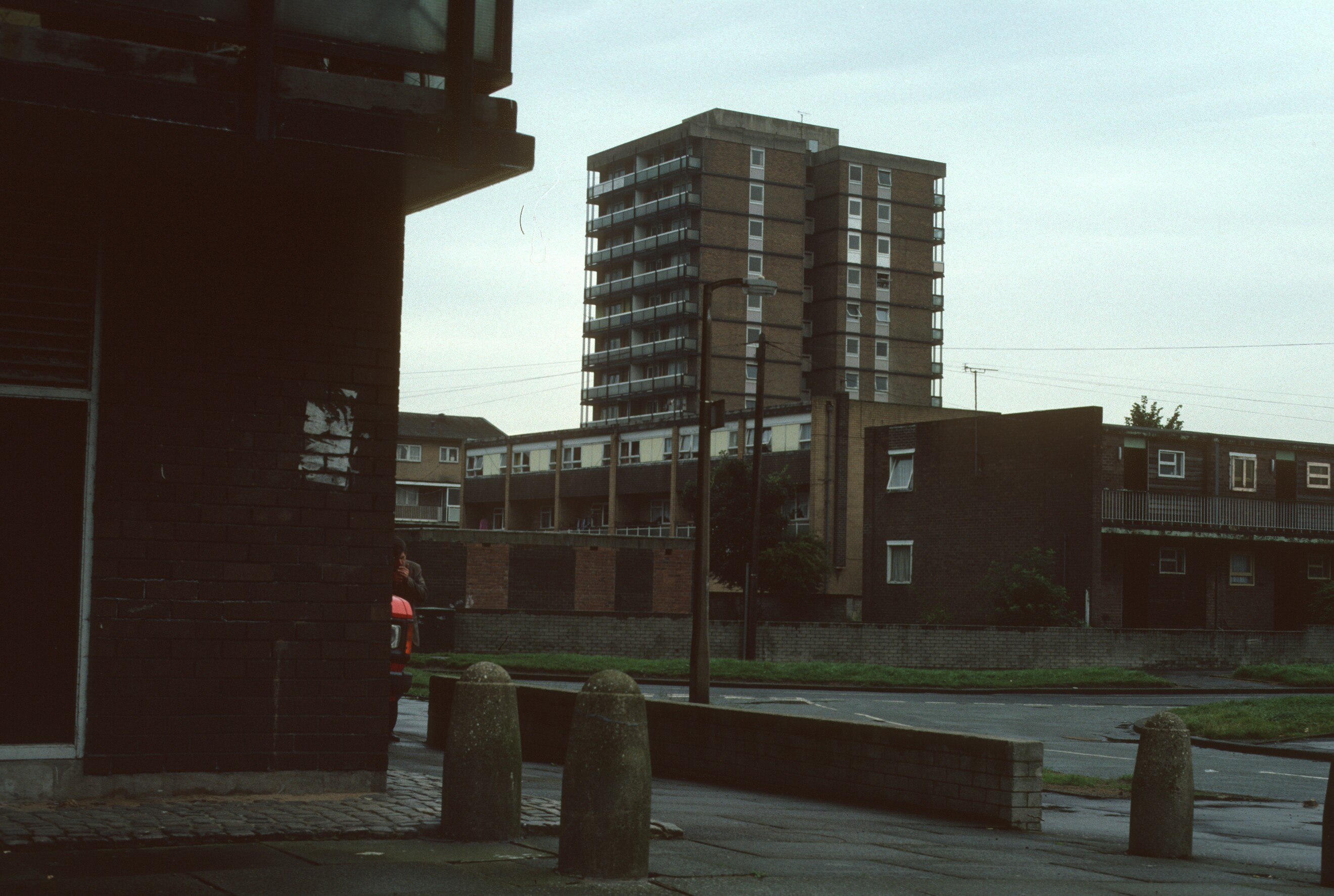
1987
View of Queensbury Court
View of Queensbury Court
Original development name
Bradford Road
Multi-storey block names
Queensbury Court N554
Unknown N555
Multi-storey block details
two 13-storey blocks containing 125 dwellings
Postcode area
M40
Image dates
1987
Image details
View of Queensbury Court
Unknown block
The two blocks were Sandal Court and Queesnbury Court. Sandal Court is the building in the left-hand side of the image and was located on the corner of Varley Street and Sandal Street. The aspect of the image is looking roughly due east from Sandal Street